
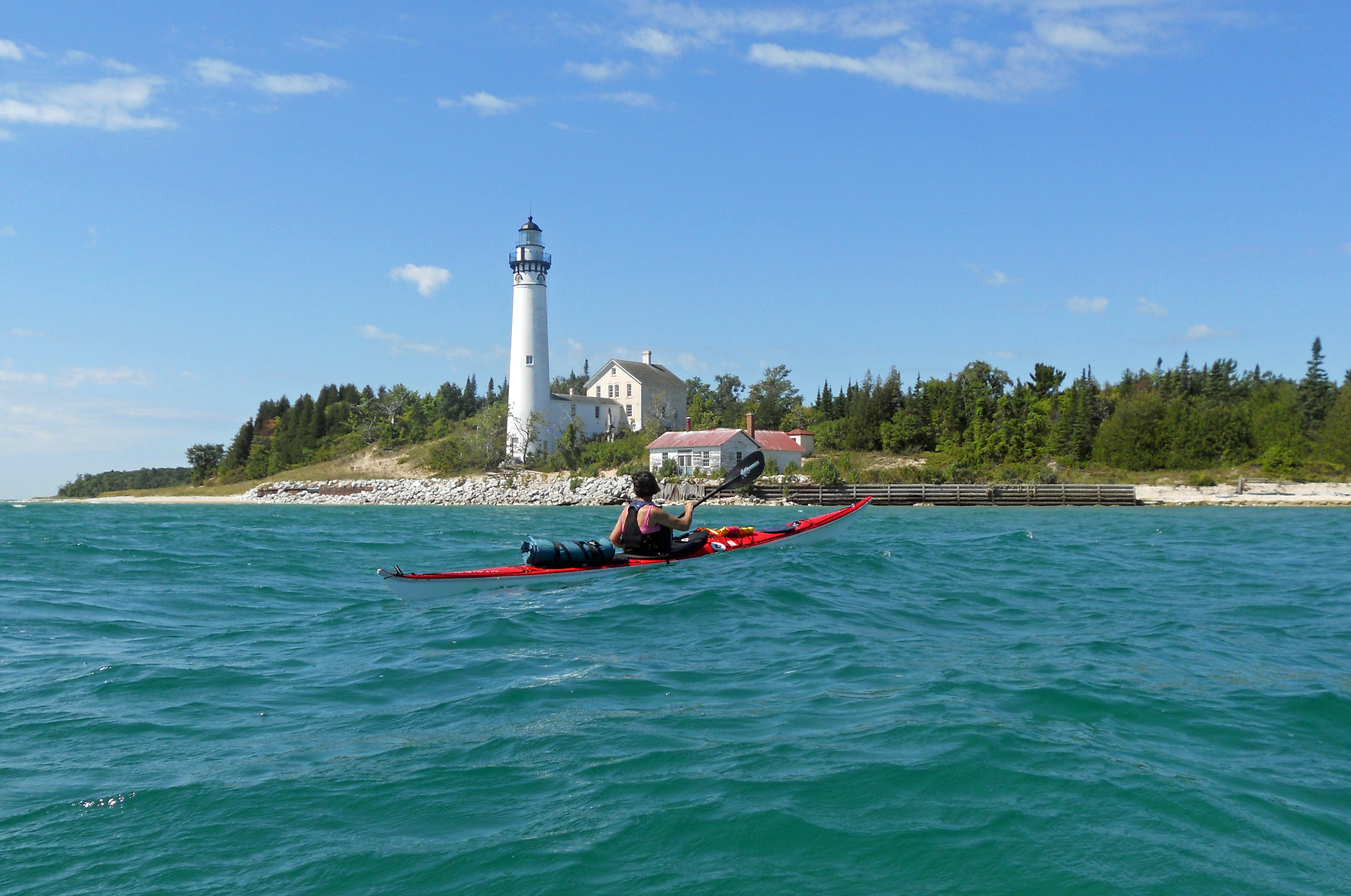
Mequon, Wisconsin paddler Mary Braband explores the waters off South Manitou Island on Lake Michigan. Photo: Ken Braband
By Howard Meyerson
With spring just around the corner, paddlers already are making plans. And some are thinking about the waters of Lake Michigan.
This is likely to be a big year for the Lake Michigan Water Trail, the four-state project that began in 2011. Paddling groups in Michigan, Wisconsin, Indiana and Illinois, along with community, business and government organizations, have been working to identify launch sites, camping spots and other attractions.
The Michigan portion is 1,200 miles long, and paddlers are encouraged this year to get out and blaze new trail segments.
Pick up your paddles
“We’re encouraging people to pick a leg over the summer and paddle (it),” said Dave Lemberg, an associate professor with Western Michigan University and the coordinator for the Michigan segment. Lemberg spent a year on sabbatical taking inventory of what’s available along the Michigan shoreline. The project was funded by a Michigan Department of Environmental Quality Coastal Zone Management grant.
“We want people to record and photograph the put-ins and take-out points and get shots of the in-between,” he said. “We’re looking for GPS coordinates, too. Paddlers would submit all that to a website. The first would be listed as the segment trailblazer.”
That segment also would be listed on a proposed Lake Michigan water trail passport that paddlers can carry. Those who eventually complete the trail would get a certificate of completion, Lemberg said.
The Lake Michigan Water Trail, for those who don’t know, was launched in the summer 2011 when then-U.S. Secretary of the Interior Ken Salazar made a stop in Chicago.
Salazar announced the designation of 41 new trails in 15 states that were being added to the National Recreation Trails system. Recreation Trails are one category in the National
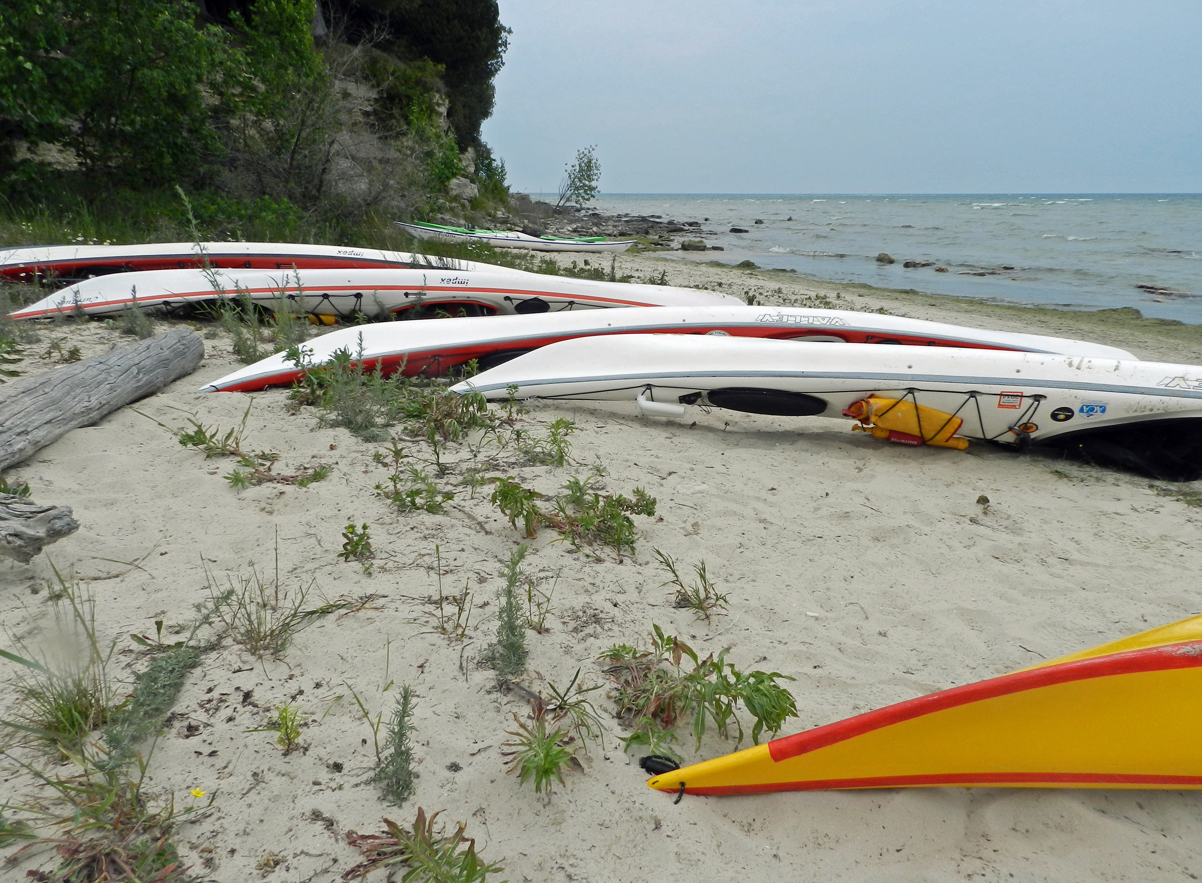
Paddlers take a break on the rocky shore of Rock Island State Park in Door County Wisconsin. Photo: Ken Braband.
Trail System that includes scenic, historic and recreation trails. The 11-state Lewis and Clark National Historic Trail is one example. The 14-state Appalachian National Scenic Trail is another.
Among those newly designated trails was a 75-mile segment of the Lake Michigan shoreline from northern Chicago south around Lake Michigan to New Buffalo, the first installation of the 1,600-mile trail that, when finished, will become a National Water Trail.
Record length
“The Lake Michigan Water Trail will be (to paddling) what the Appalachian Trail is to hiking. It will be the longest continuous-loop water trail in the world,” Dan Plath said.
He is a kayaker from Westville, Ind., and the president of the Northwest Indiana Paddling Association, one of the founding groups in the Lake Michigan Water Trail Association. More on its work can be found online at nwipa.org.
Groups in Wisconsin, Illinois and Michigan since have risen to the challenge, and continuing efforts are under way to map and make available good information about
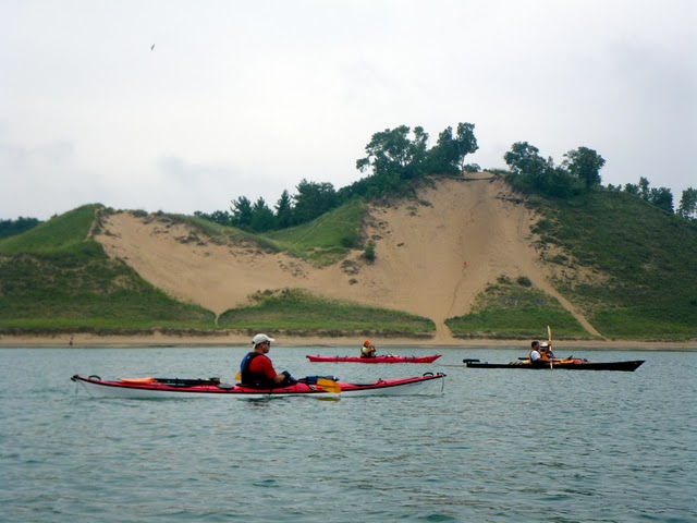
Paddling along Indiana Dunes National Lakeshore. Photo; Courtesy of LMWTA
various segments.
You can find out more about trail progress in each state at the Lake Michigan Water Trail Association website, lmwt.org.
Paul Yauk, the land program manager for the Michigan Department of Natural Resources Parks and Recreation division, recently said water trails are “a critical part” of the draft state trails plan released this year. He foresees the DNR getting involved with the Lake Michigan trail, as well as with inland water trails.
“DNR parks chief Ron Olsen has committed to being part of the water trails program,” Yauk said. “We have a lot of infrastructure out there (parks and boat launches) that are on the water.”
Printable maps
What paddlers also soon will have available are printable maps for the trail. Lemberg’s crew recently put a beta version online, but the regular link to those maps of the Michigan shoreline and its paddling assets will be on the LWMT site by the end of March.
“The initial list of trailblazer legs will be up there by April 15, and the sign-ups for segments will be up by May 15,” Lemberg said.
Paddlers, of course, have been navigating segments of Lake Michigan for years. But Lemberg and others hope to get them involved in the development of the water trail.
“That’s why we are doing the Trail Blazer,” Lemberg said.
“We want to let them be part of something larger.”
If you are thinking about a kayak trip along the Lake Michigan coastline this season, whether it be from one port to another or a longer expedition, be sure to check out the maps that soon will be available.
And consider becoming a part of what is developing there. Every effort likely will have a payback for paddlers.
______________________________________________
This column appears on MLive Outdoors
© MLive.com. All rights reserved.
